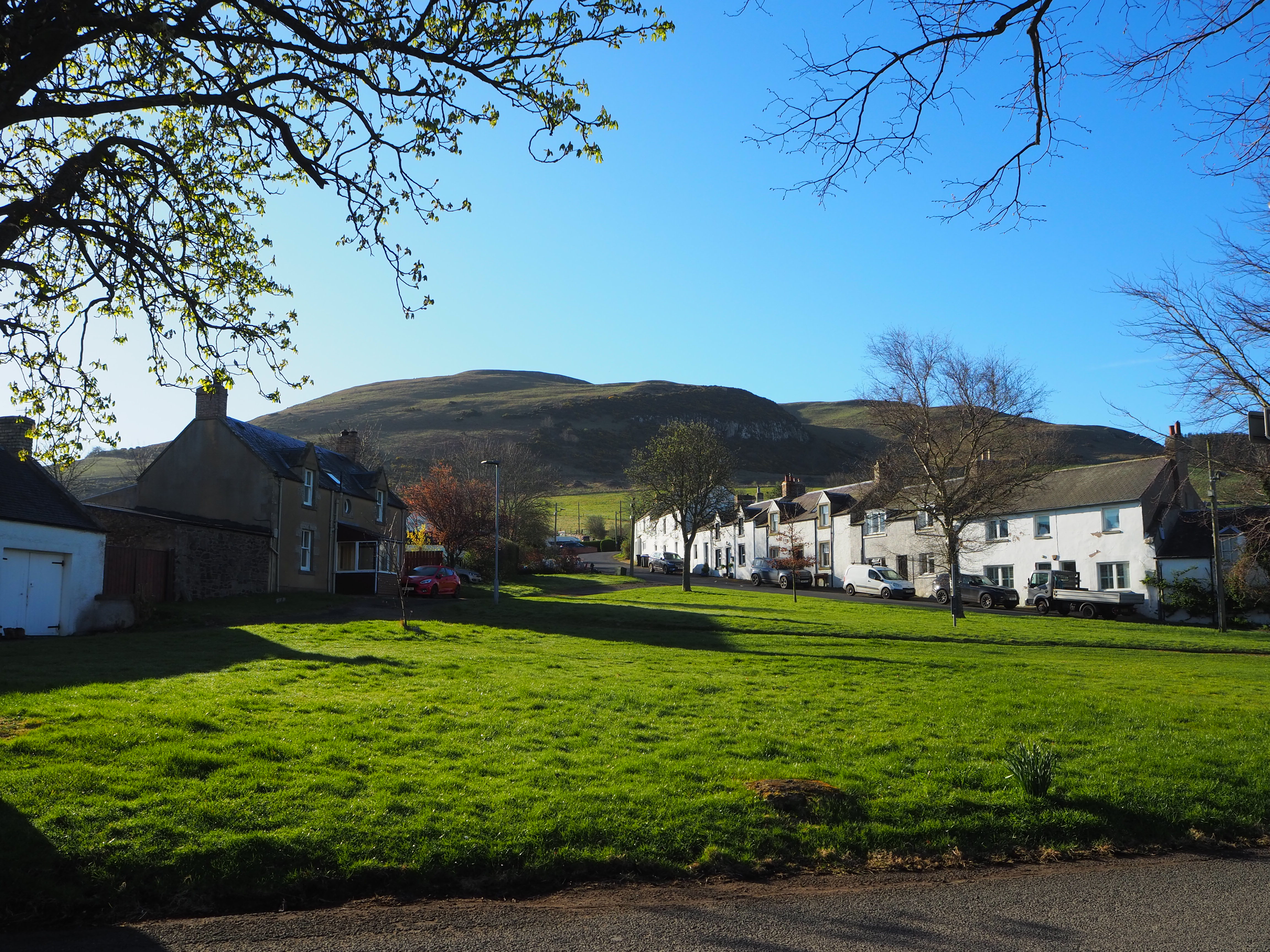
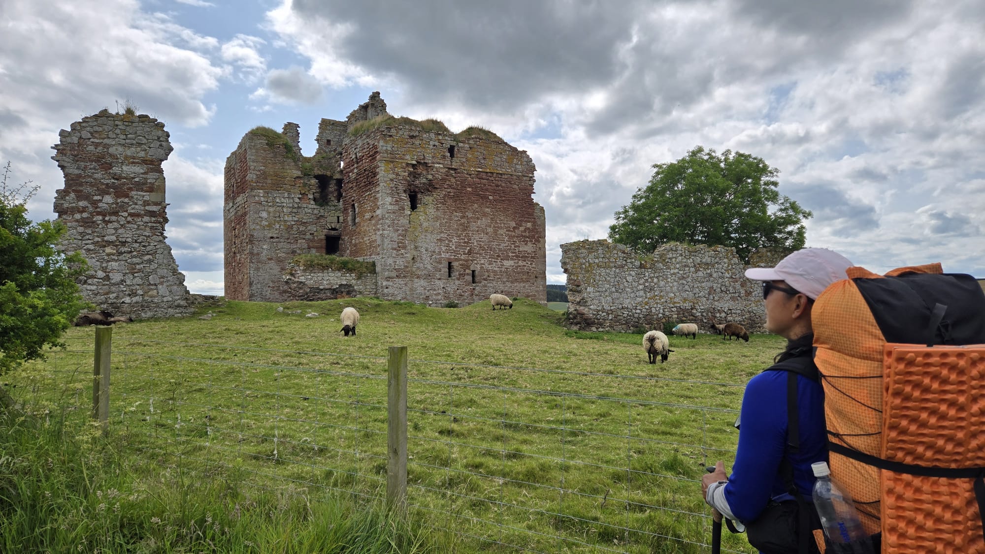

The 'Borders' was the scene of many battles between England and Scotland spanning two centuries. It was a virtually lawless area with families fighting families in long running fueds.
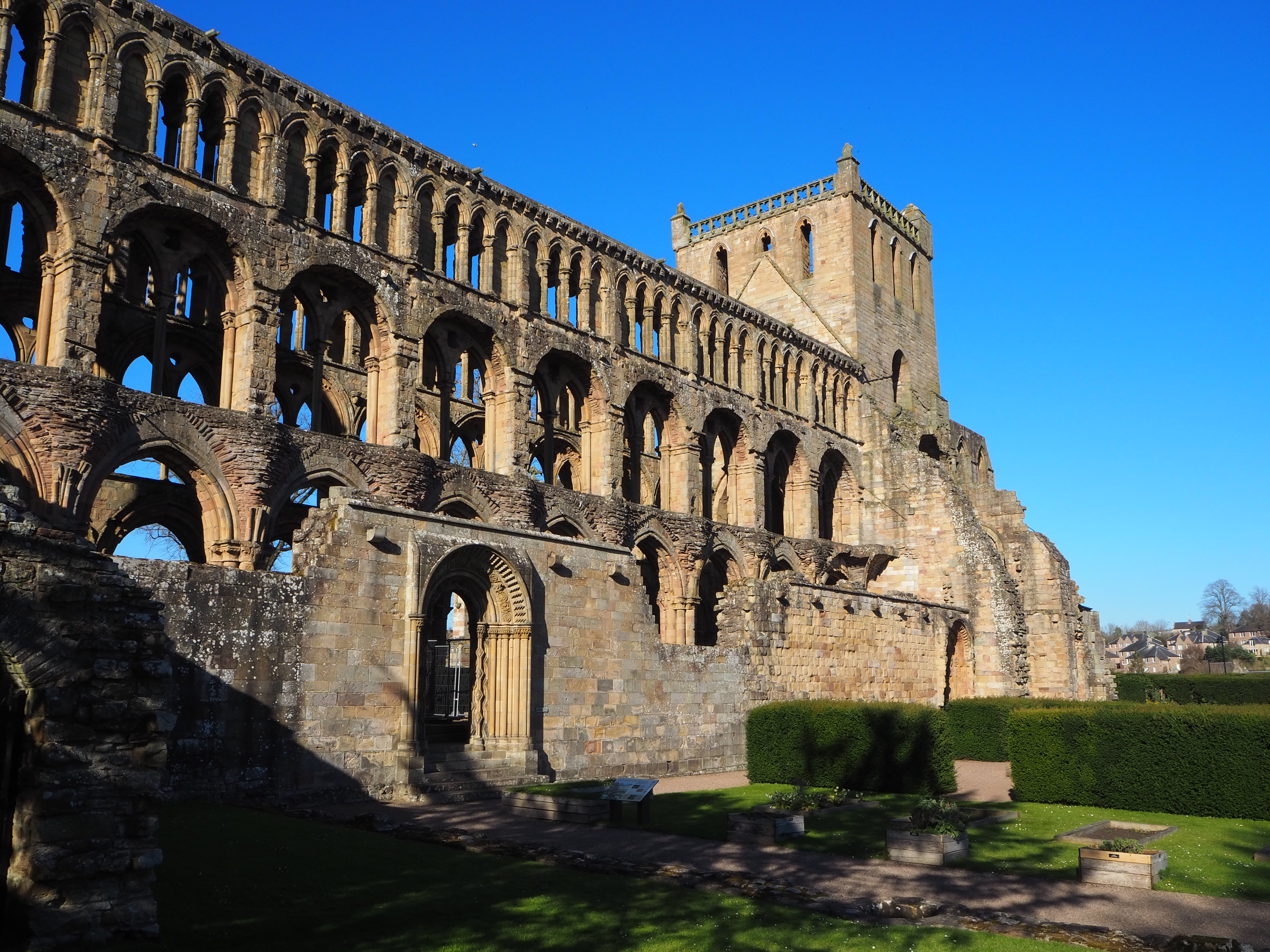
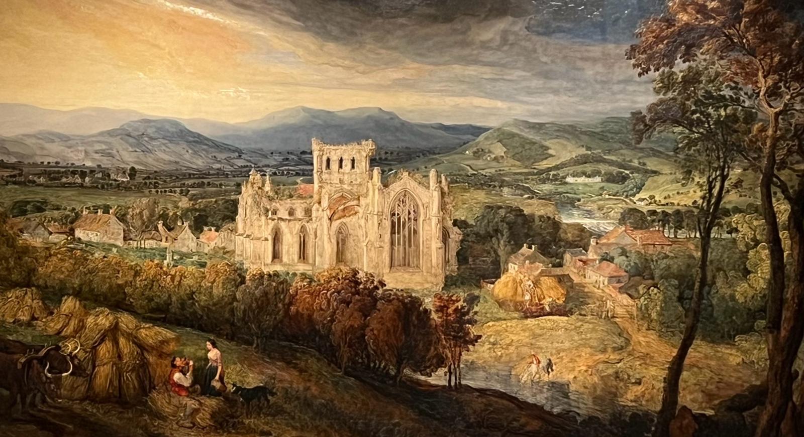
Dryburgh Abbey Hotel is a good place to stay, with the wonderful 12th century Abbey close by. The Northern Trek climbs between two volcano-like hills known as the Eildon Hills - a third hill is just off in the distance. These hills are the great landmarks of the Pentlands. The middle hill is reputed to be a prehistoric burial ground. Mike and I chose to climb Eidon Mid Hill 422ft (128m) which has a stunning view from its cairn.
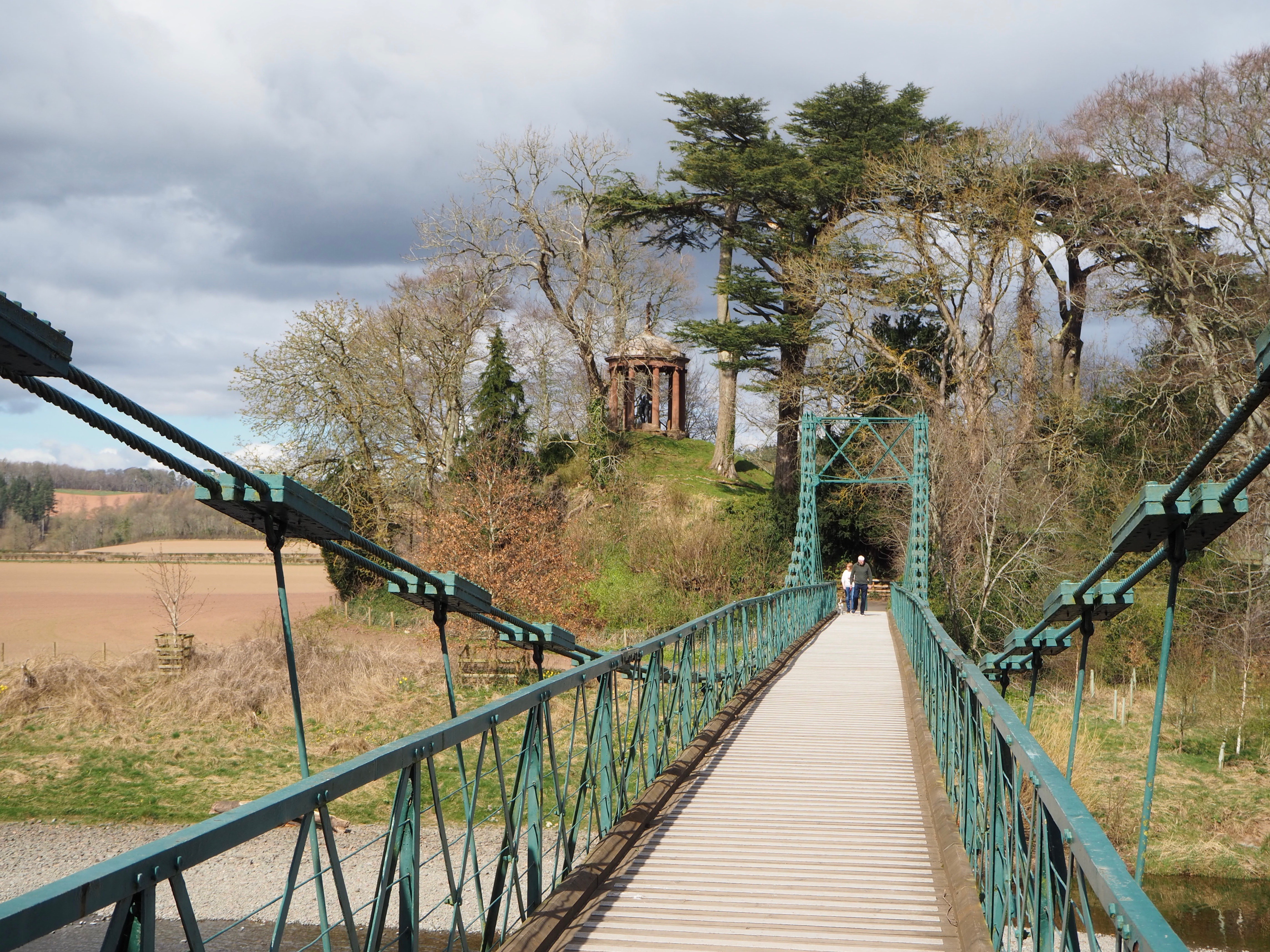
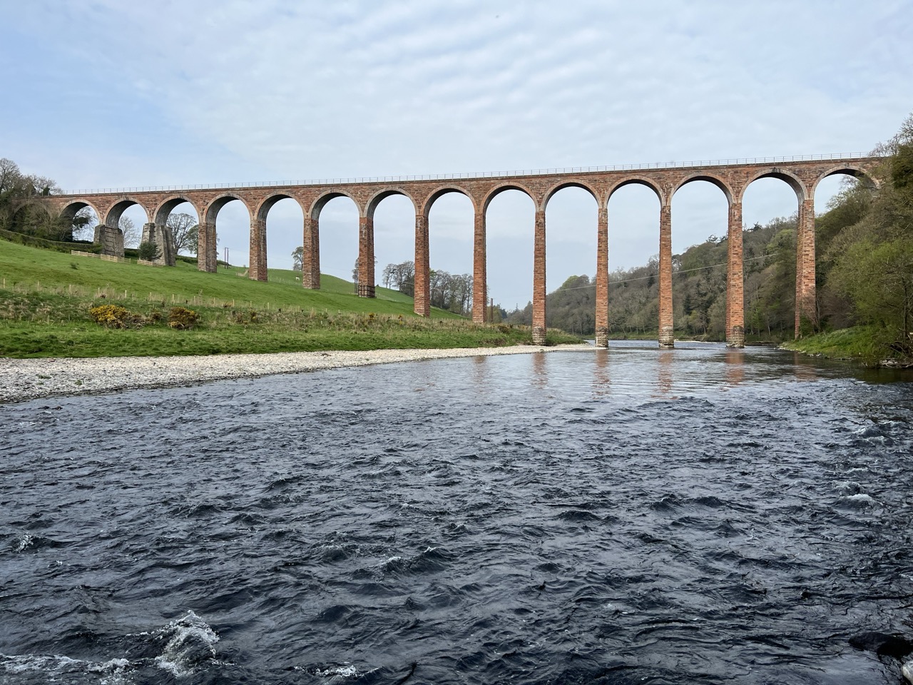
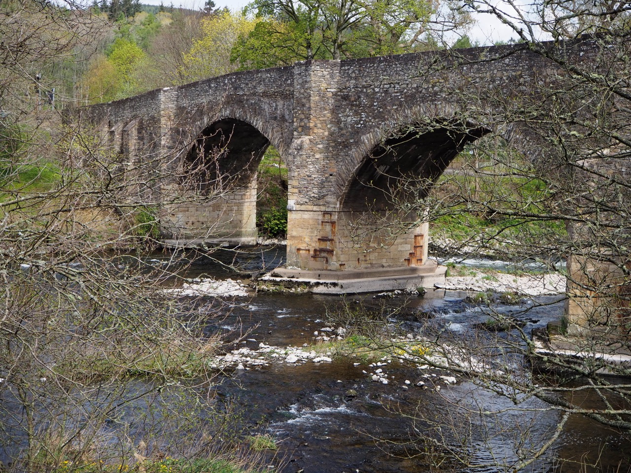
Three spectacular bridges cross the river Tweed in Dryburgh, and they are well worth the short diversion - Dryrange Old Bridge, Leaderfoot viaduct and the modern road bridge.
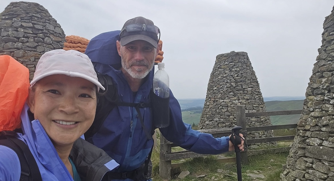
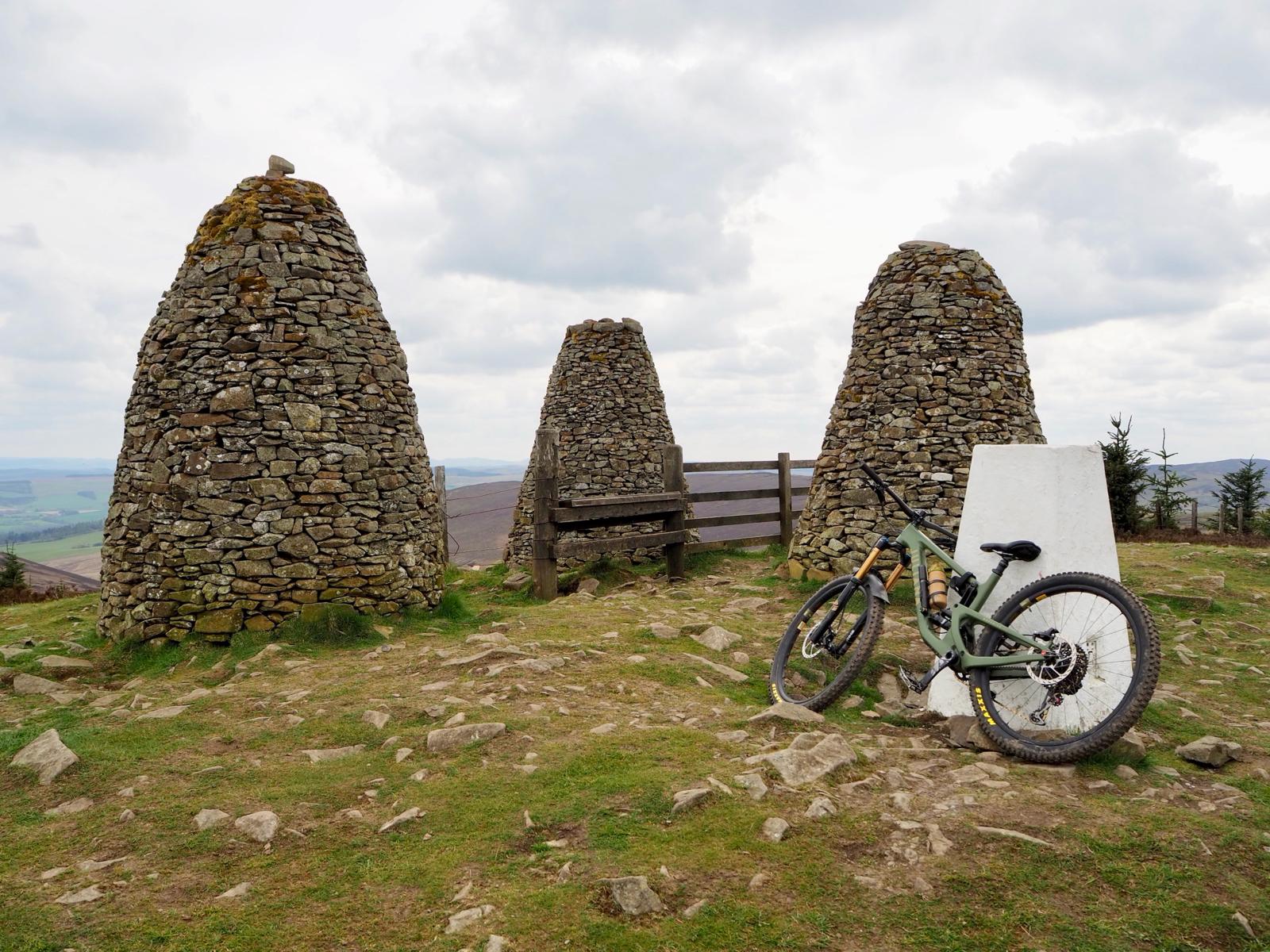
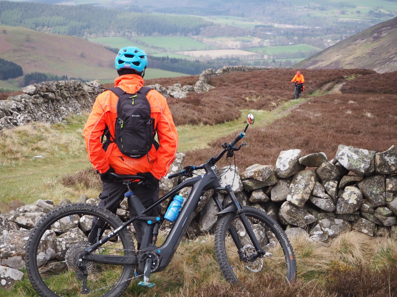
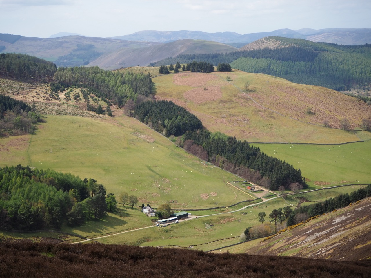
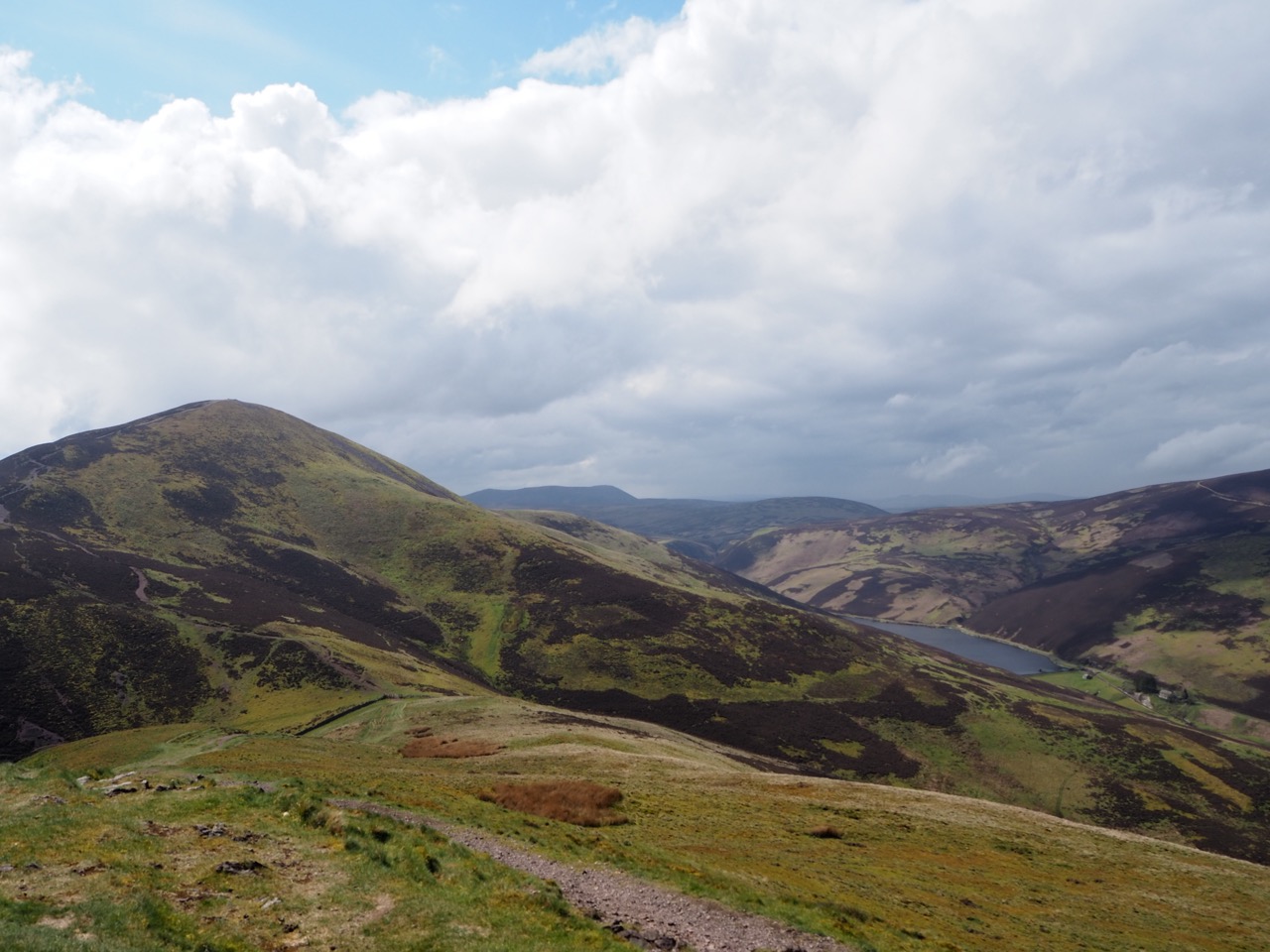
Our trek joins the Southern Upland Way, which crosses moorland and forest with occasional and regular breathtaking views of the River Tweed. We climb to the summit of Yair Hill with its three wonderful stone cairns, ‘The Three Brethren’, which are believed to date from the 16th century. We were surprised to meet a mountain biker from Sheffield at the very top. Cycling on the tops, and towing behind her a baby in a mini trailer. It turned out she was one of the trainers for the British Cycling team, so we asked no more questions.
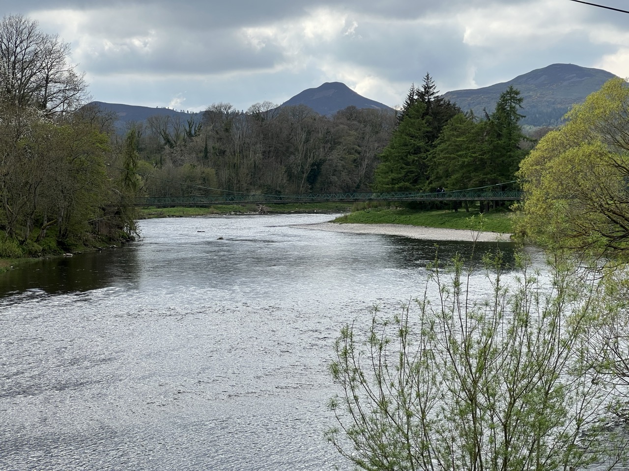
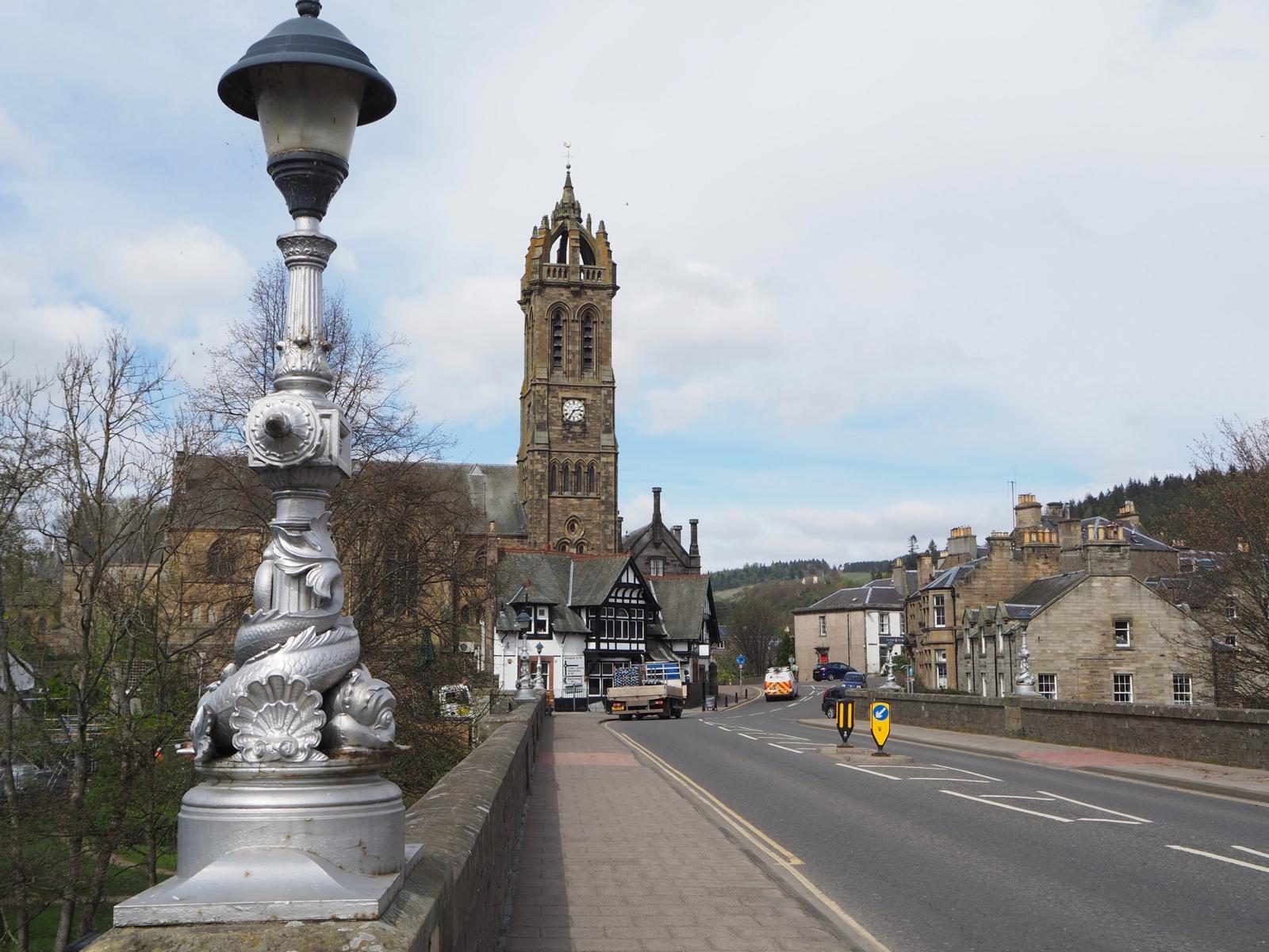
Peebles is a great place to stay. It has lots of pubs, restaurants and places to eat. I returned to the same hotel, The Tontine Hotel several months later to further explore the hills here. It’s a good base to explore neighbouring countryside and indeed to reach Edinburgh - which is only 37miles away. The River Tweed runs through its heart, as a centrepiece to this wonderful and quiet market town. It runs slow and wide here, and is well known as the best of Scotland's ‘great’ salmon rivers. The river surpassed my expectations and it is without doubt one of my favourite rivers anywhere in the UK. It's worth noting that late summer and early Autumn are the best times for Salmon.
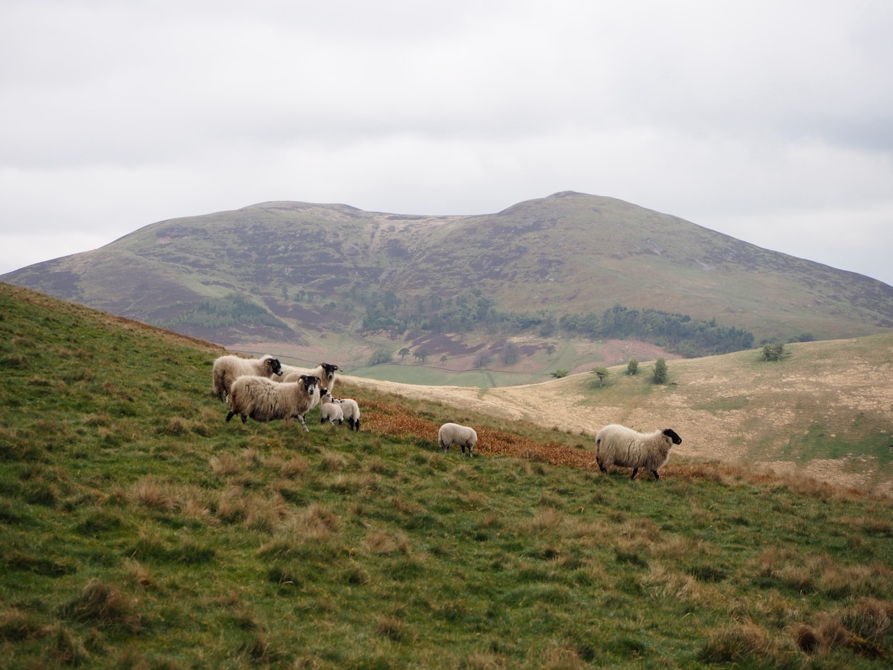
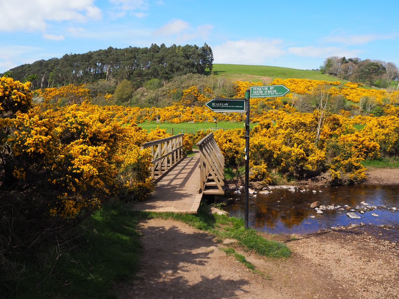
We passed many backpackers going south through The Pentlands, on the Southern Upland Way - hikers from Holland, Austria, France and the USA. Most carrying huge rucksacks with all their provisions. All keen to share their experiences.
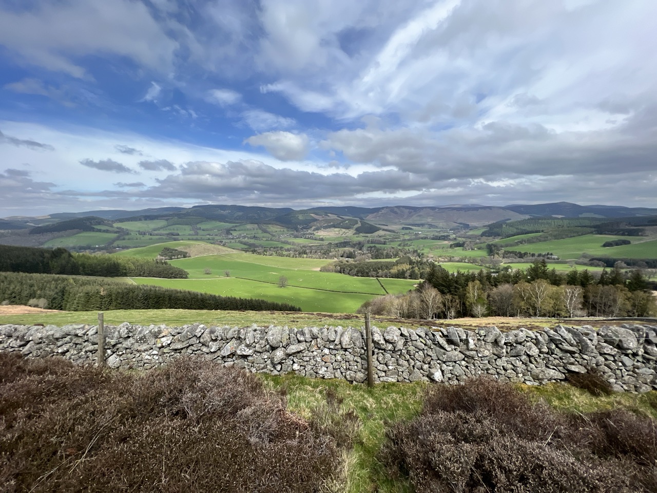
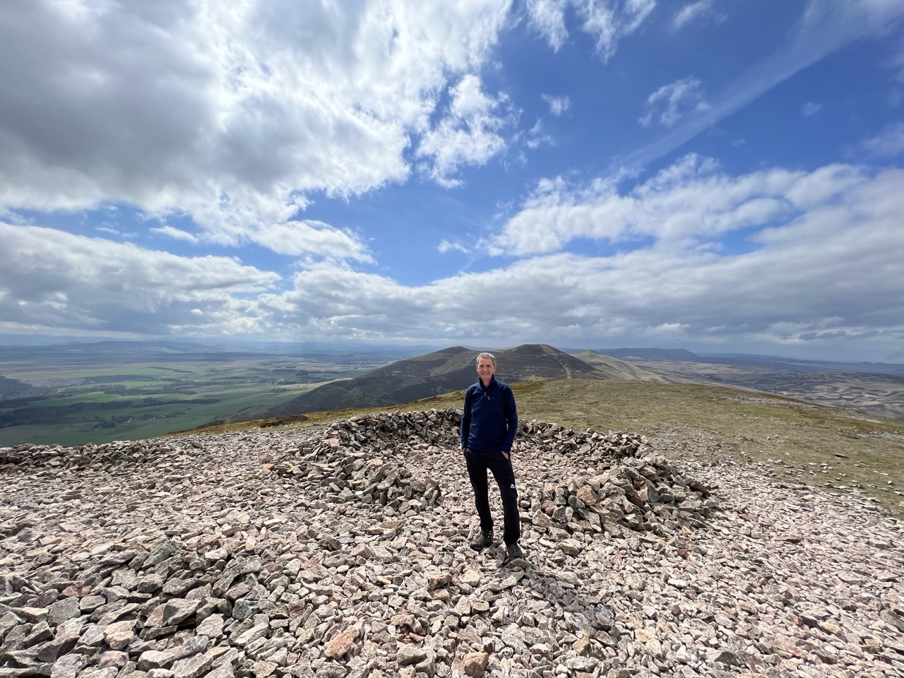
During our overnite in Peebles, I was still very unsure about the final route into Edinburgh. I had looked at my maps several times and decided to delay my decision until I could see the hills and features in person. We also had a few good chats with locals who knew the fells better than us. The weather was good on the day, and we could see the fell tops, so we decided to go right over the tops and take in all of the ridge summits of the Pentland Hills.
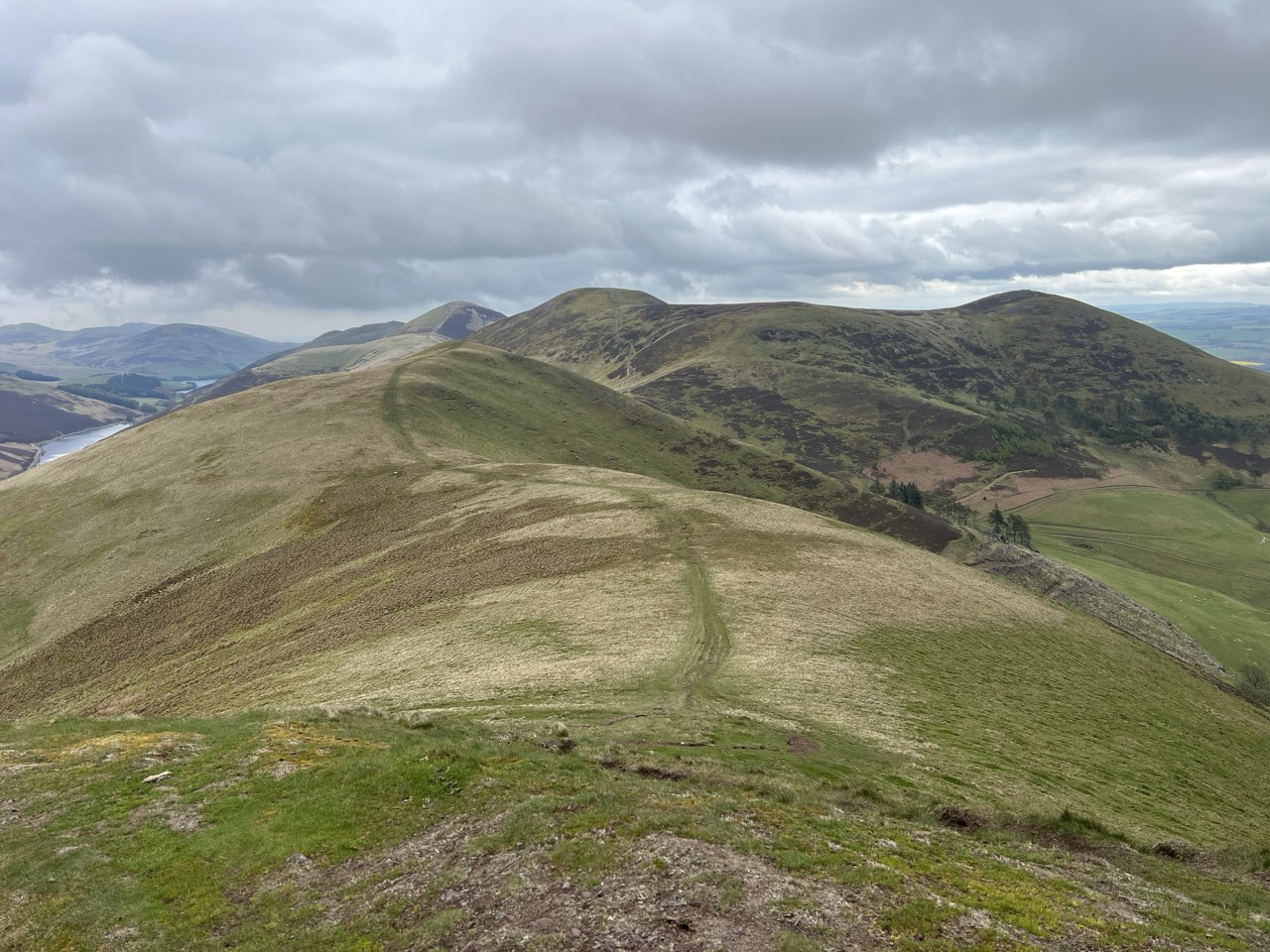
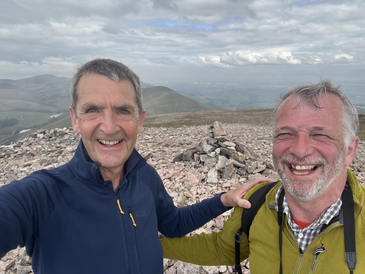
Climbing Monk's Rig, West Kip, Scald Law at 1889ft (579m) the highest point, Carnethy Hill, White Craig Heads and Turnhouse Hill. Then the path drops down into Glencorse Reservoir and then back up to the top of the final summit at Allermuir Hill - and eventually the wonderful view to Edinburgh.
To our surprise a new footpath had recently been added and was well signposted (2023). The Pentland Way had sprung up, which made our route much easier to follow. My worries about navigating the 'tops' were unfounded.
The sun was shining and we had perfect weather. Views were magnificent. From the final Pentland fell we could see Edinburgh in its full glory. The route over the Pentlands is certainly one of my favourite ridge walks. Easy to follow and with spectacular views - as good as anything in the Lake District.
At the end of a long day, I was glad to climb into a hot bath, and later have a pint and a wonderful evening meal. We had a full Scottish breakfast the next morning, and a large bowl of porridge with honey to help us on our way.
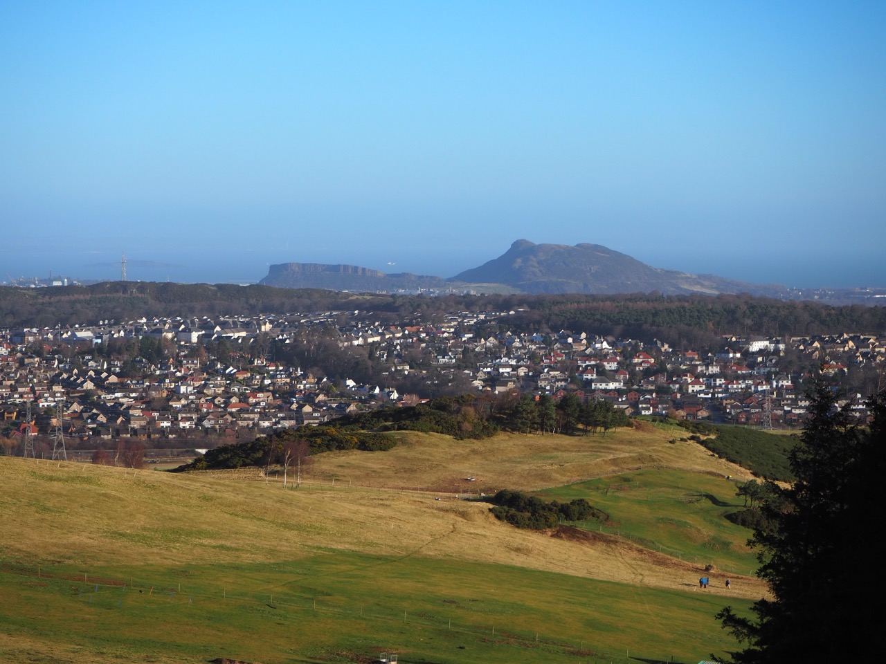
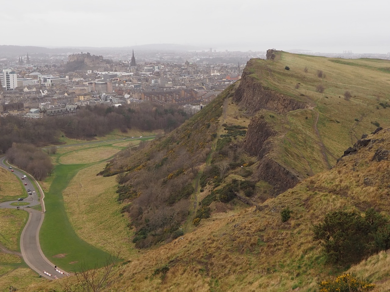
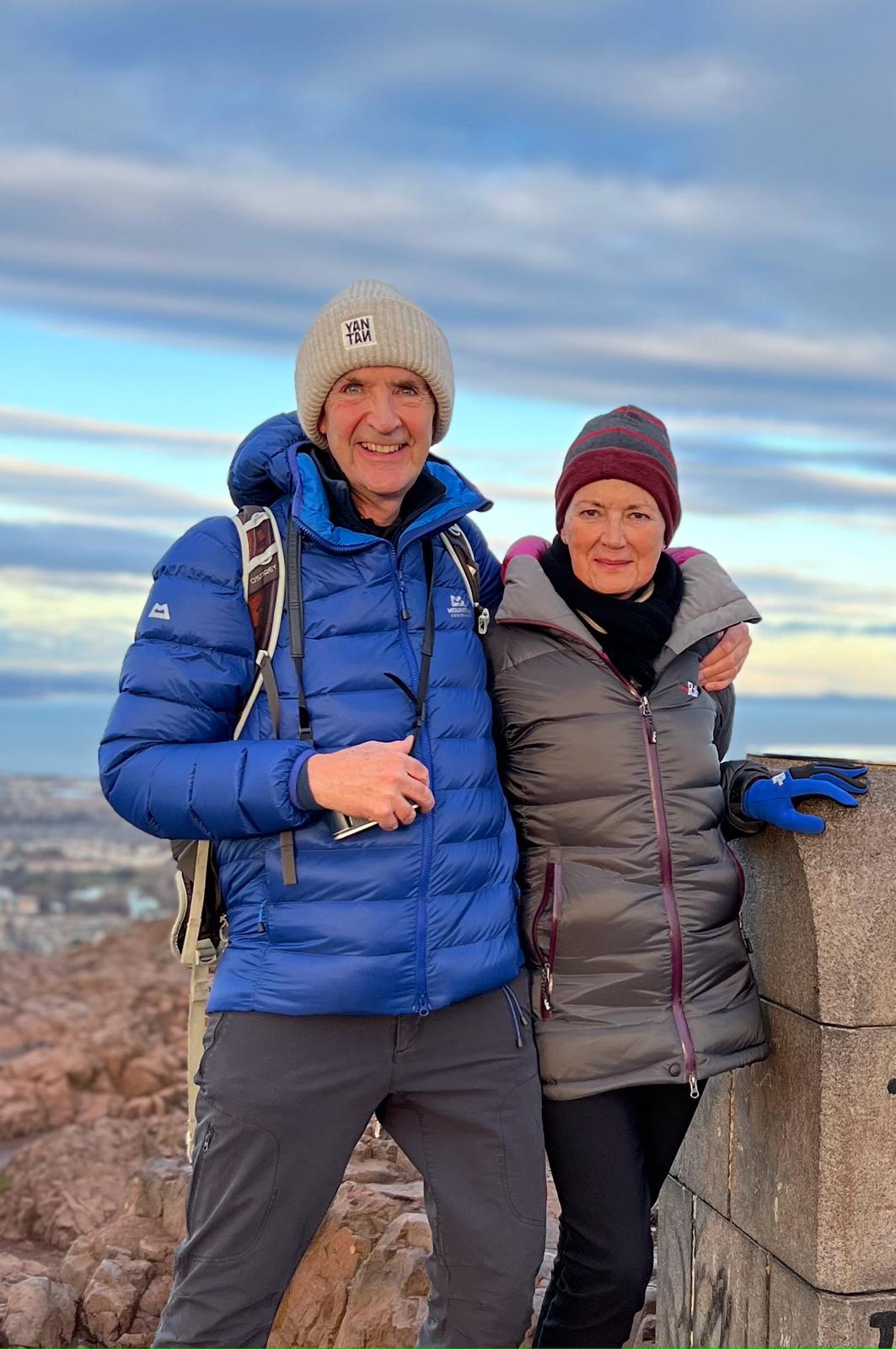
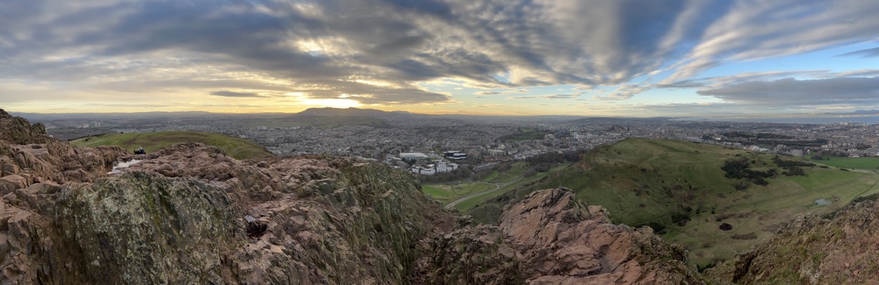
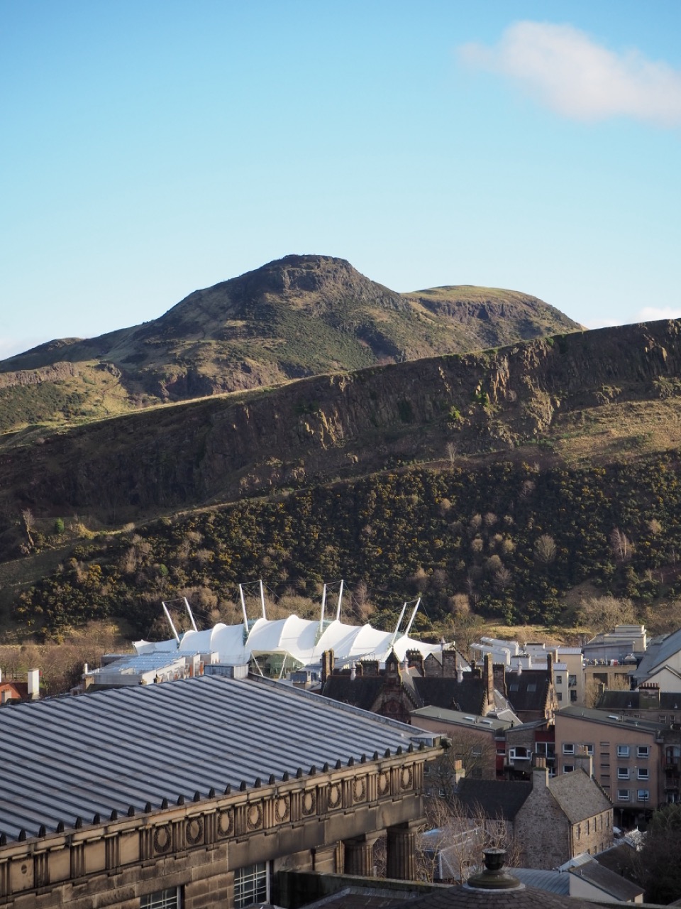
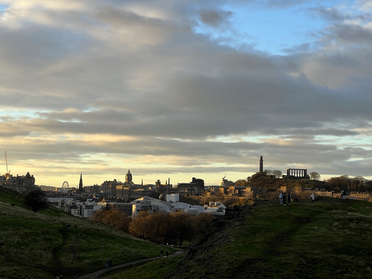
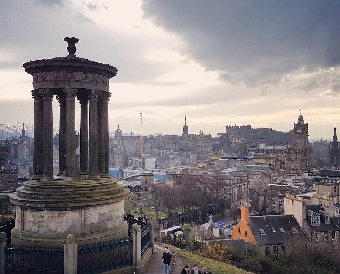
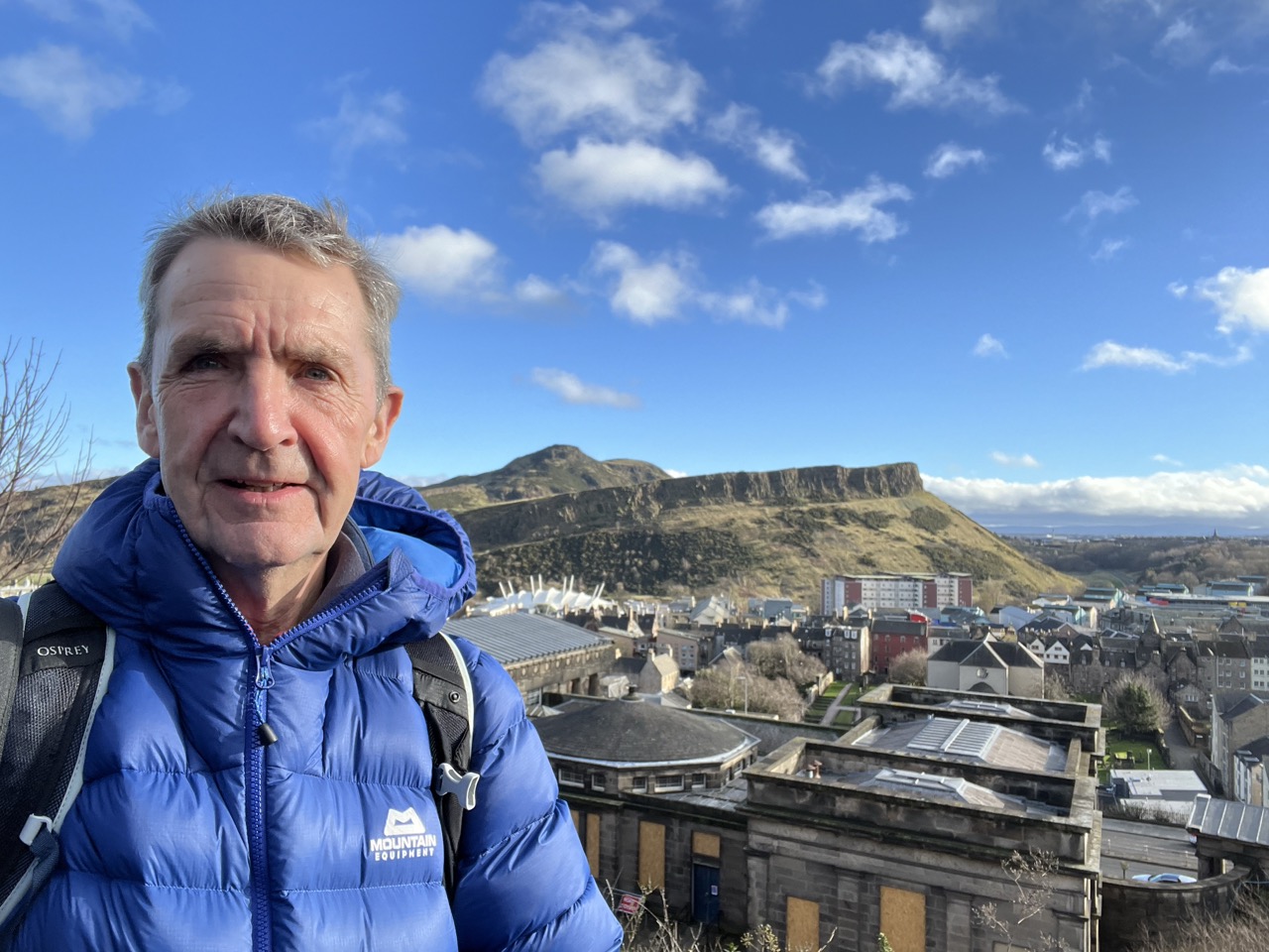
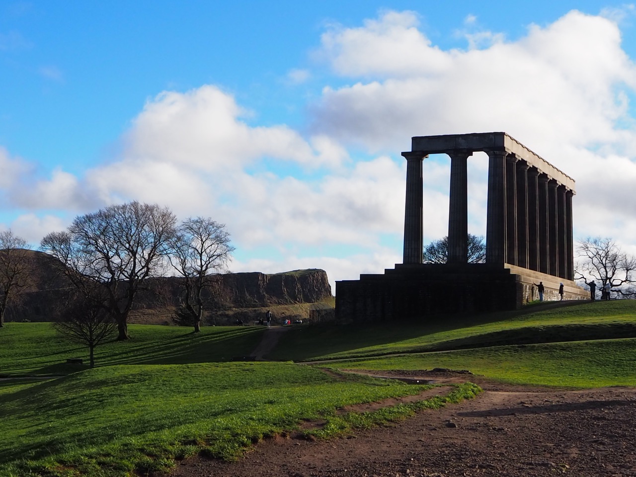
We walk with enthusiasm towards Edinburgh from the South side, over Blackford Hill with spectacular views towards Edinburgh. The Northern Trek passes the Royal Observatory, down through the grounds of Craigmillar Castle before it reaches the steep but quick ascent of Arthur’s Seat, 822 ft (250m) with the magnificent capital below. From the summit cairn, on top of this 300 million year old volcano, there are superb panoramic views back to the Pentlands, The Firth of Forth, and Edinburgh with both Old and New Towns clearly in view. Iconic buildings everywhere to see, Edinburgh Castle, The National Art Gallery, The Scottish Parliament building, The Royal Palace, and the remarkable monuments on Calton Hill. Stunning architecture spanning the ages on all sides.
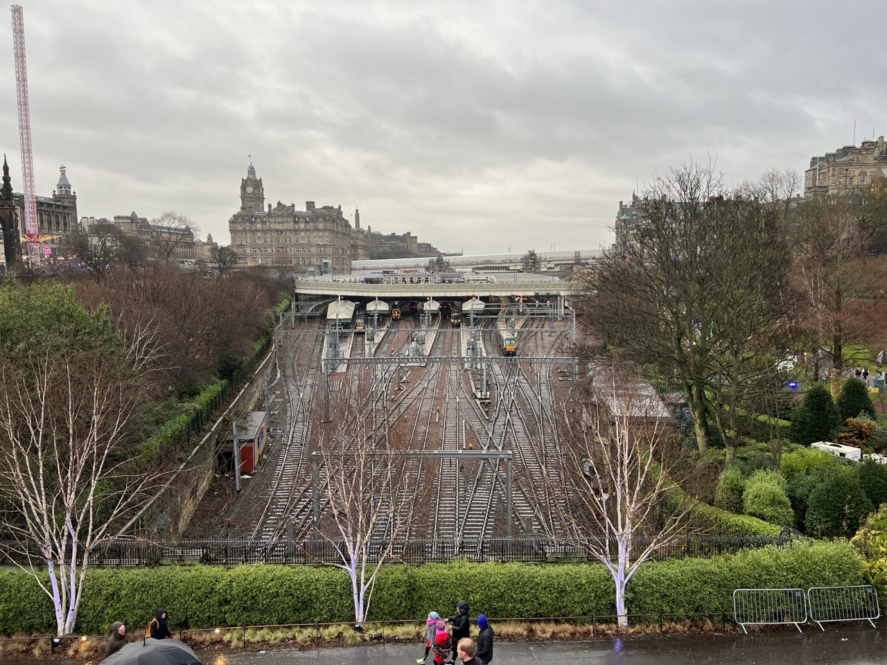
The route drops down into the city passing under the great cliff of Salisbury Crags and onto the cobbled streets and we reach our end point for section 5 at Waverley Station.
I have visited Edinburgh many times, and I think that it is probably my favourite city! I love it in the Winter when its probably a bit quieter. There are so many ways to explore this beautiful Georgian 'wonder'. My advice would be to stay a couple of days, slow down a bit and enjoy this wonderful place.
97 mile 'fly through' of Section 4. From Kirk Yetholm through The Borders, over The Pentlands and into Edinburgh
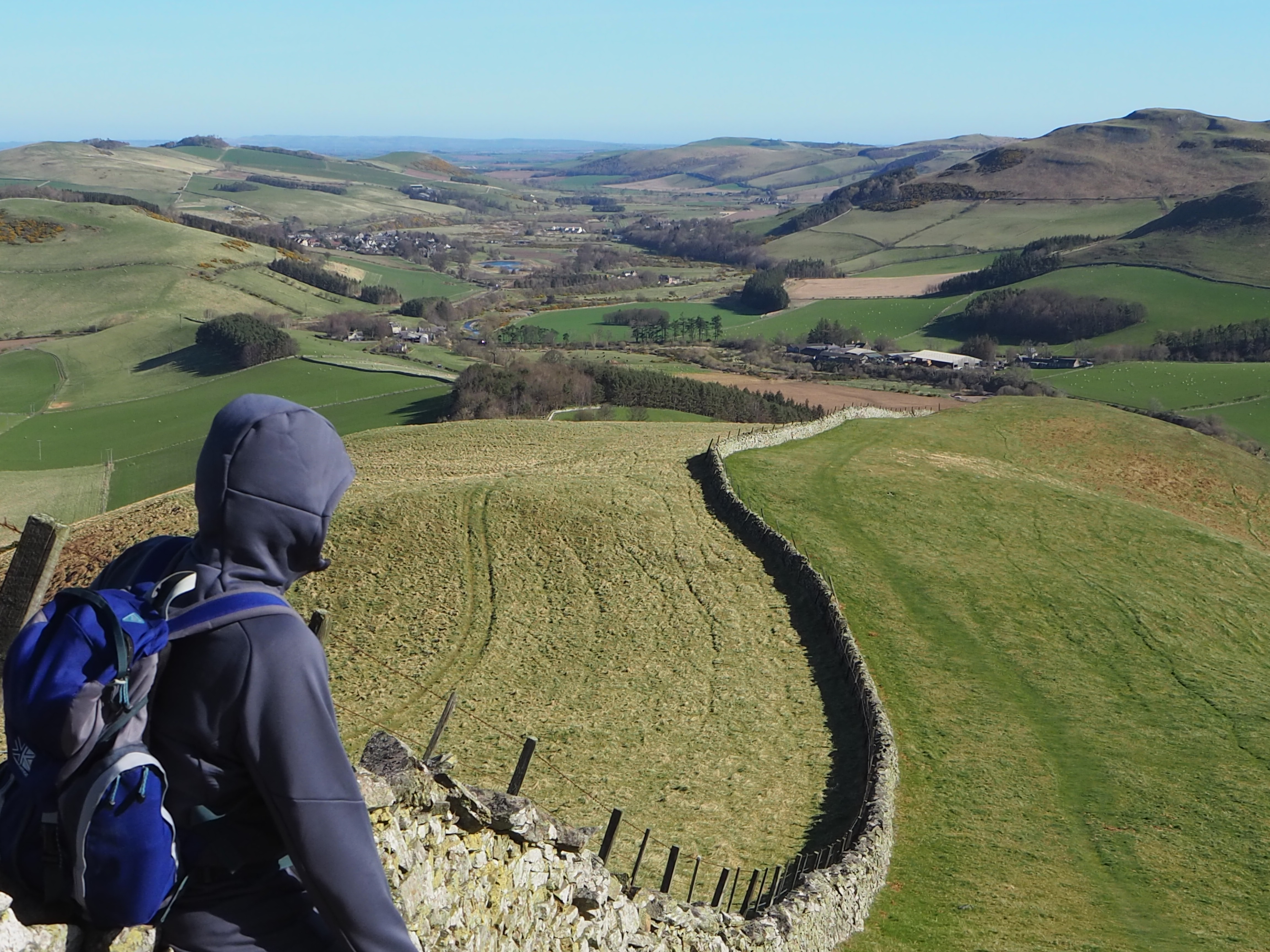
Wide open Hill, the highest point on St. Cuthbert’s Way looking back to The Cheviots
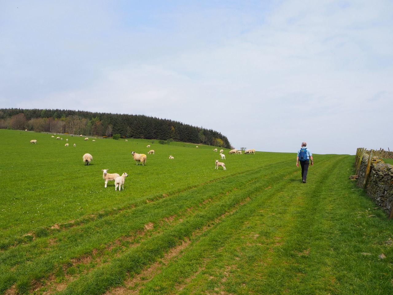
Hiking through The Scottish Borders on the Northern Trek
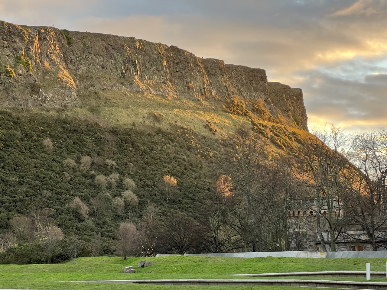
The majestic Arthur’s Seat, with Salisbury Crags below. In the distance above the Edinburgh skyline,
OS Explorer: OL16, 339, 338, 337, 344
6-8 Days
Downloadable route files in .gpx format for use on your GPS device or to use in your digital mapping software


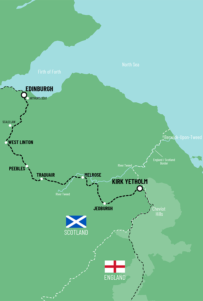
 Kirk Yetholm To Edinburgh