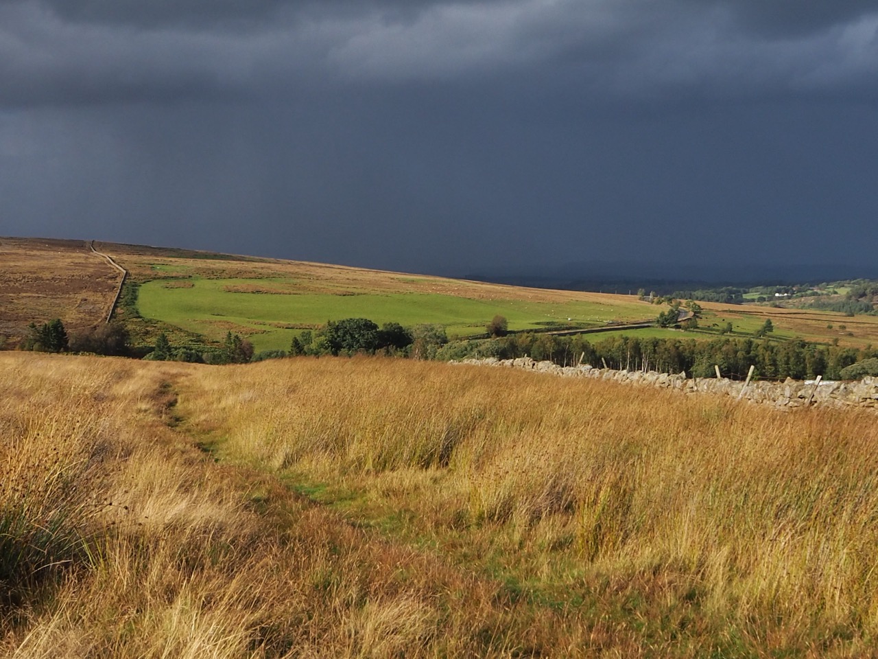
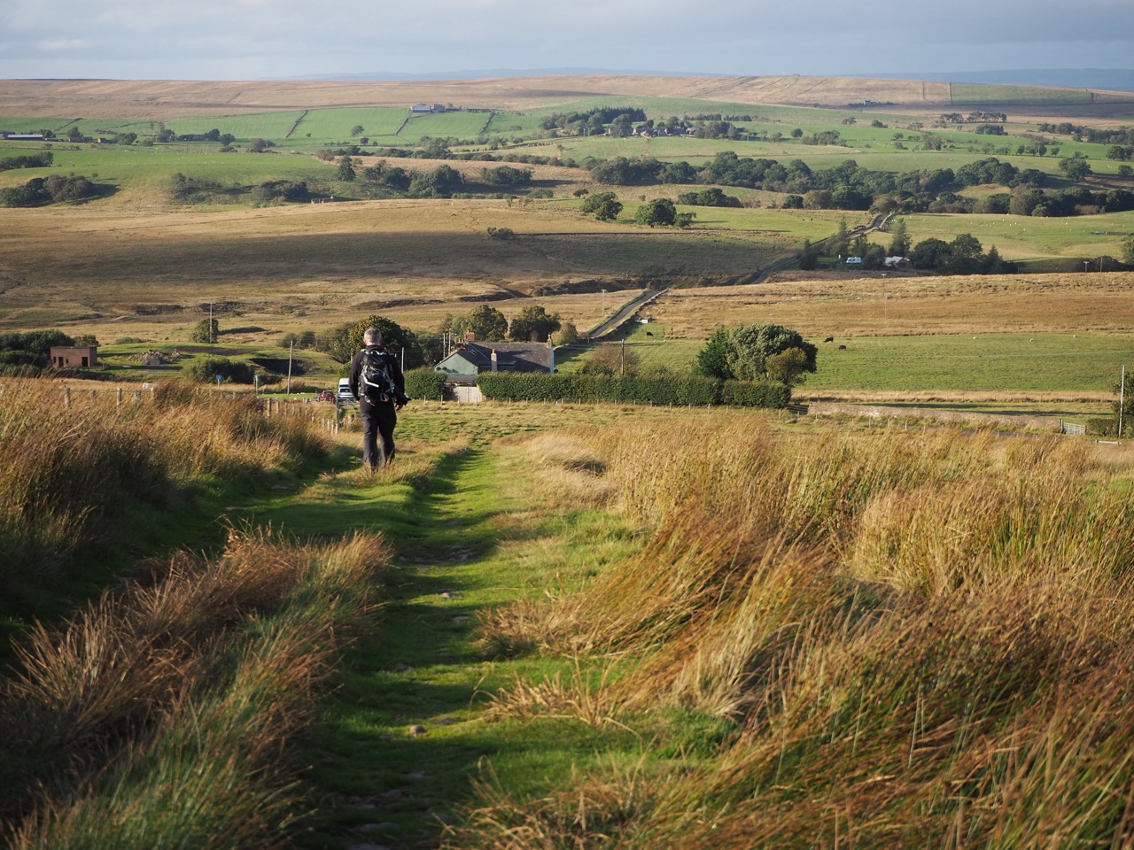
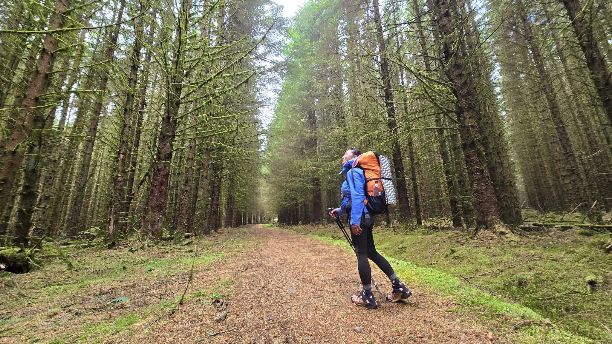
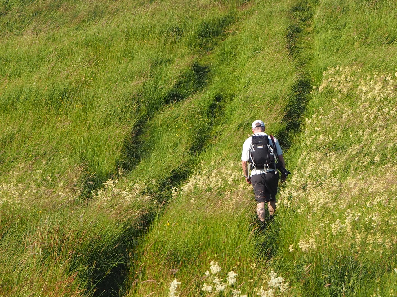
Alston still reminds me of my college days. We would often catch the bus from Newcastle across the A686 to the Lake District. The bus would pull up for a 30 minute stop at Alston - and everyone would get off for a cup of tea. Those were the days. Alston remains a lovely town, equal with Buxton in Derbyshire as the highest market town in England. The paths are easily followed and gently cross the green and lush fields.
Through Slaggyford and Knarsdale, following the old drovers roads to Greenhead.
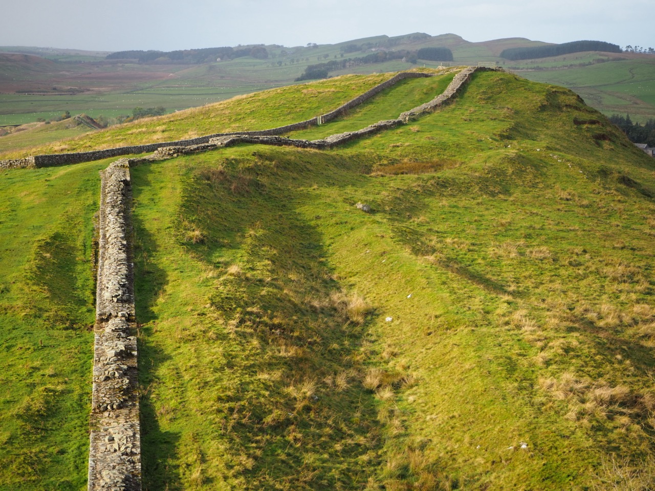
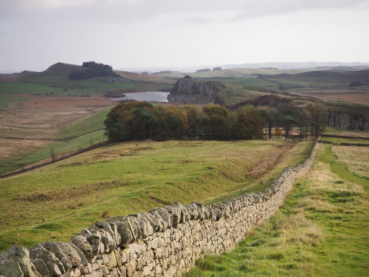
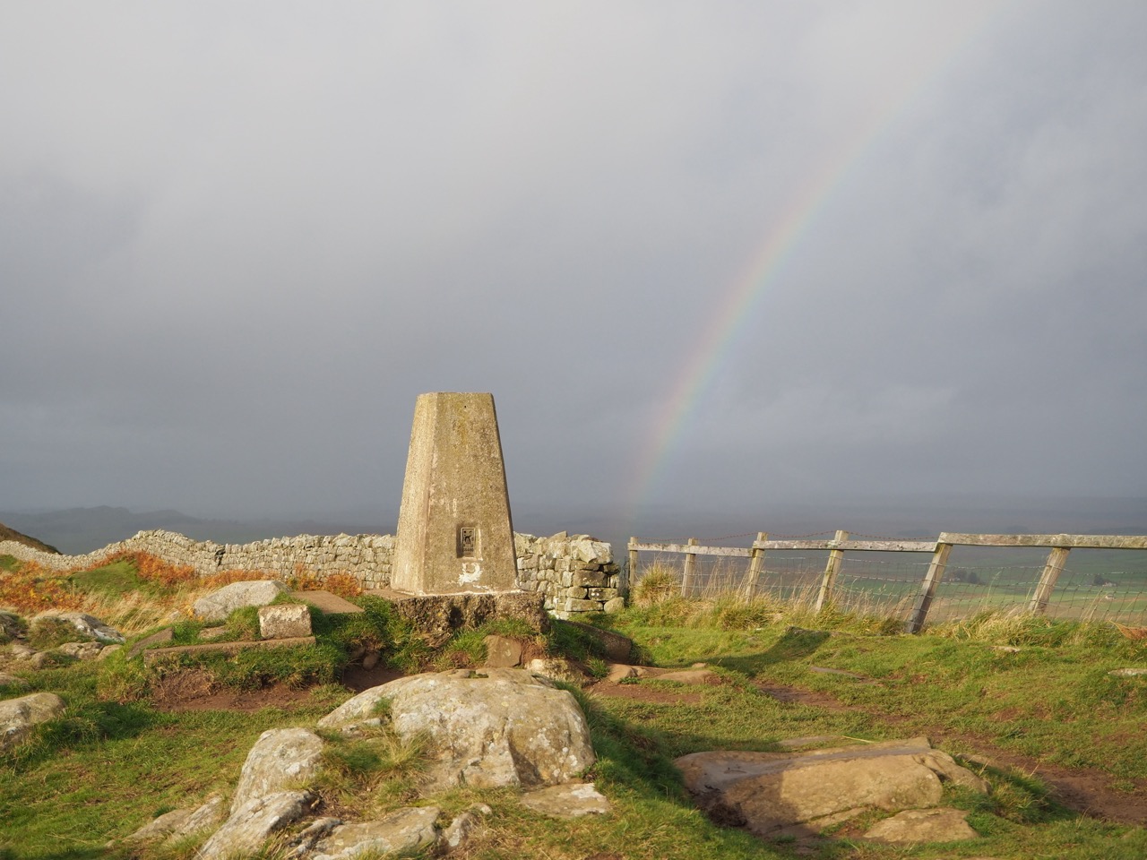
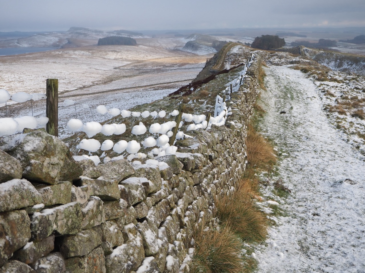
The walk reaches Hadrian's Wall - 74 miles (119km) in length, ten feet high and six foot thick and built of stone. An astonishing man made structure, rich in history and built by the Romans approx 1900 years ago. That's quite a thought, when you consider that up to 4000 soldiers, masons and carpenters worked here in this remote wilderness, as it must have been, in northern Britain.
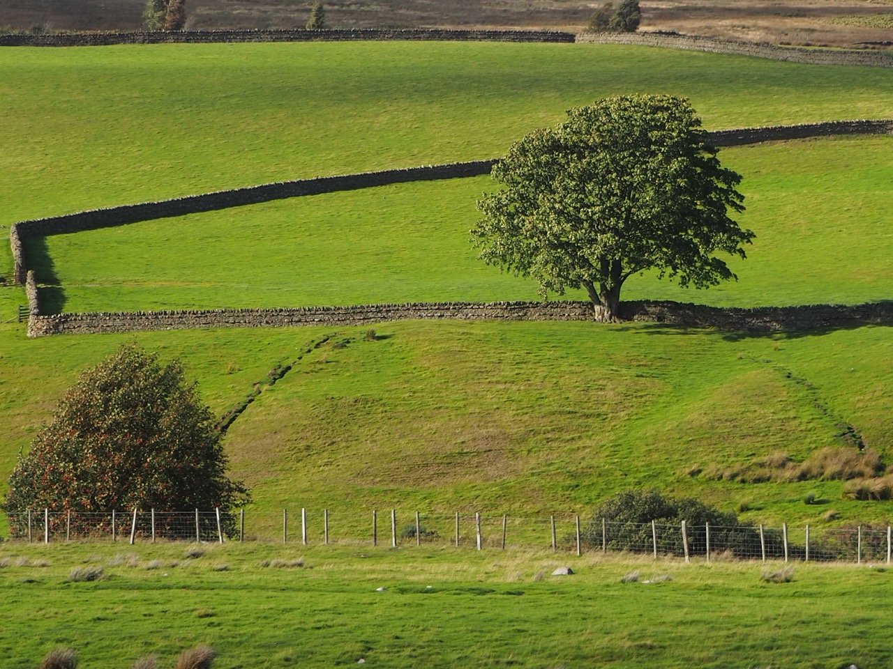
Designed to keep out the marauding "barbarians from the North", as Hadrian himself once said. With its forts and numbered turrets, headquarters and barracks, Hadrian's Wall crosses the top of the rugged and natural escarpment known as Whin Sill. In 1987 the Wall was declared a UNESCO World Heritage Site. The views both north and south are wonderful. Rolling hills, big open fields, split by drystone walls and isolated forest. Barely a village in sight.
I am no geologist, but as I’ve walked the Northern Trek I have become more interested in the landscape and rocks on which my boots have trodden. As a rough guide the landscape looking northwards from Hadrian's Wall is very much volcanic in origin. Created by fire and the fury of lava flows and igneous activity. Explosions and violent chaos from the earth's depths.
Looking southwards, the landscape is ‘generally’ from the Carboniferous era. With fossils and animal footprints left in limestone, mudstone and sandstone. There's a richness of animal and sealife buried within ancient forests and swamps. I recommend the terrific book ‘Walking The Bones of Britain’ by Christopher Summerville for the expert’s view on the subject.
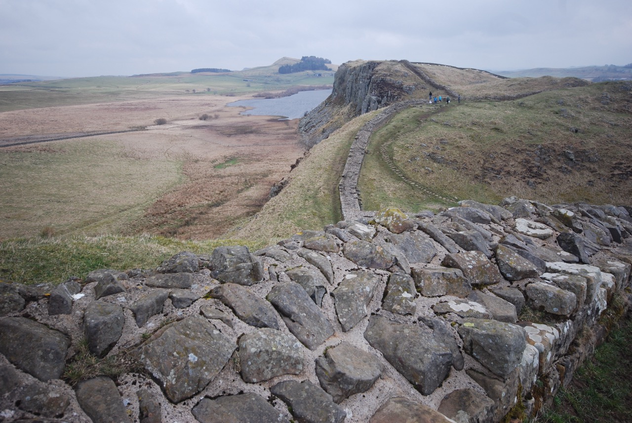
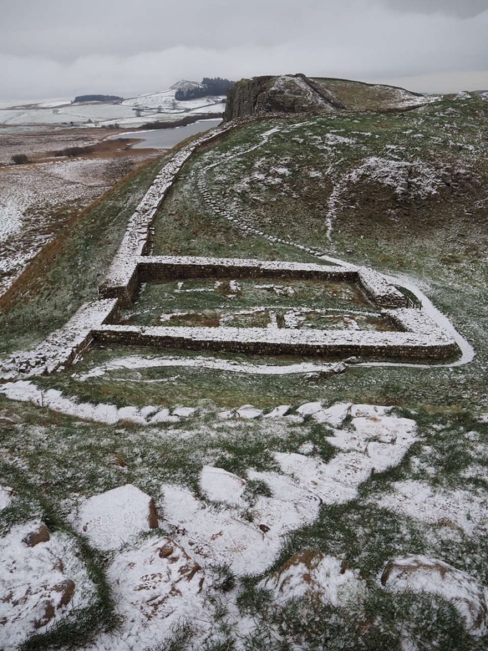
Our walk crosses perhaps the most popular section of Hadrian's Wall, from Thirwall to Housesteads. A stretch of approximately 8 miles (13km), with the highest section reaching 1230ft (375m) at Winshield Crags. This section of wall sits high above two small natural reservoirs, Greenlee and Broomlee Loughs. It’s not an easy walk along this section. If you have any aches and pains, they will be amplified here. It’s a wild and craggy landscape, loved by so many people.
Heading north from Hadrian’s Wall, through the lovely Wark Forest we first heard and then saw several Crossbills in the treetops. A lovely sound in this quiet forest. It's over the bridge and into Bellingham which is the last official town before the end of the Pennine Way. It’s a good place to stay with traditional pubs and shops where you can stock up on supplies.
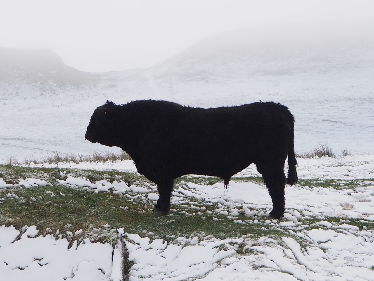
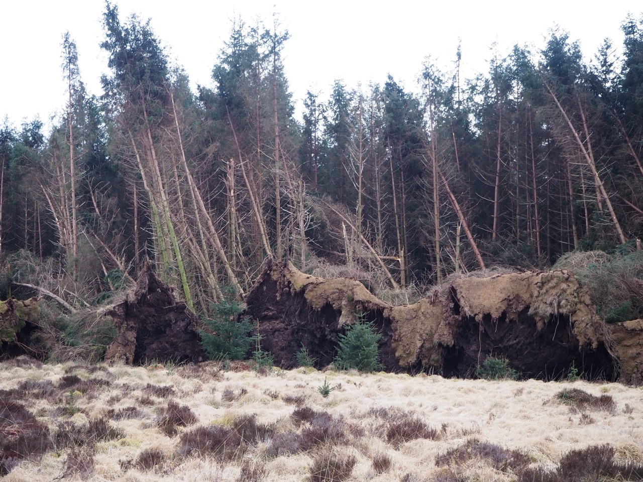
It was March 2022 when we trekked through the nearby Border forests. The area had just been hit by one of the UK's worst storms - and much of the spruce forest had been flattened. We were walking in winter and it was dark very early. All the power was off. As we arrived at our pub, we were greeted by a distraught landlord and burning candles. No one else was present. The owner said he had booked us into a B&B in Bellingham, where the electricity was still on - we could then at least, get a hot meal at the end of our long day. Northern hospitality at its absolute best. I will never forget the good gesture of this caring publican. The devastation to the forest was so great, that when we revisited the area in 2023 much of the forest was still flat on the ground. A very sad sight.
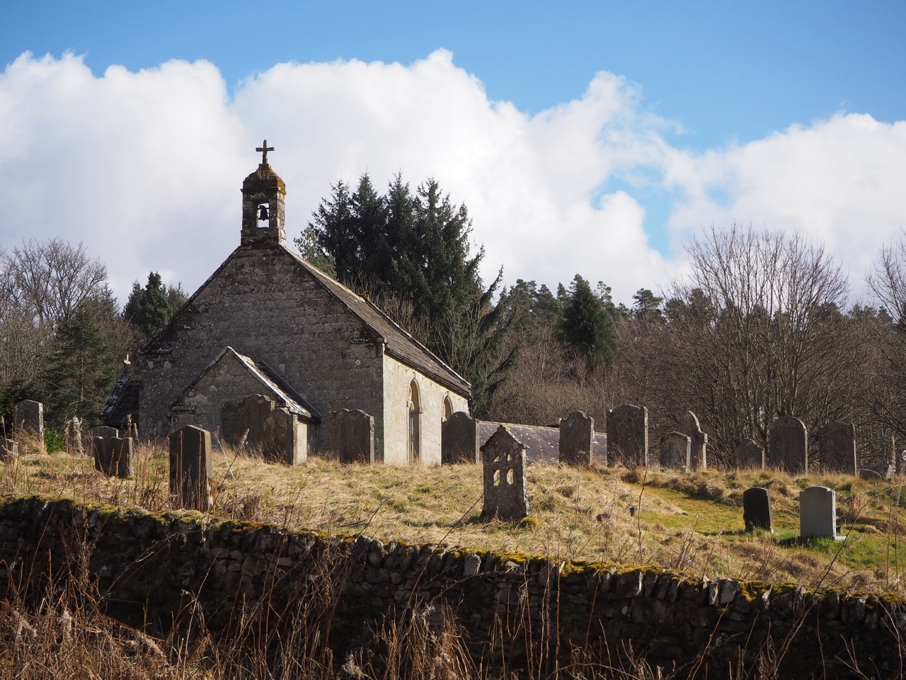
Over Padon Hill to Byrness with its picture perfect little church and then ready for the challenging walk uphill and on to the Cheviots. The Pennine Way very briefly crosses into Scotland before returning to walk alongside the border’s edge for some miles.
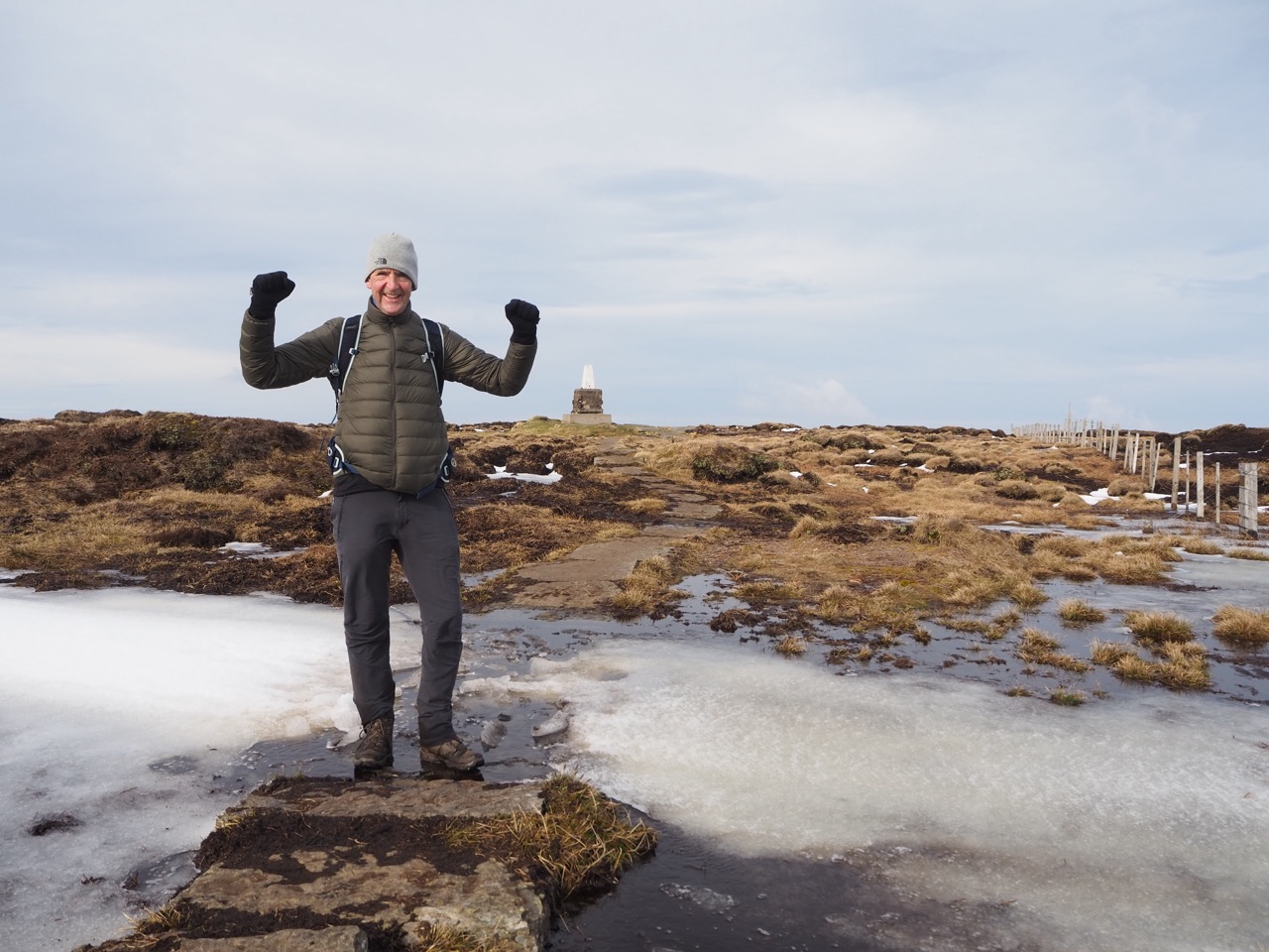
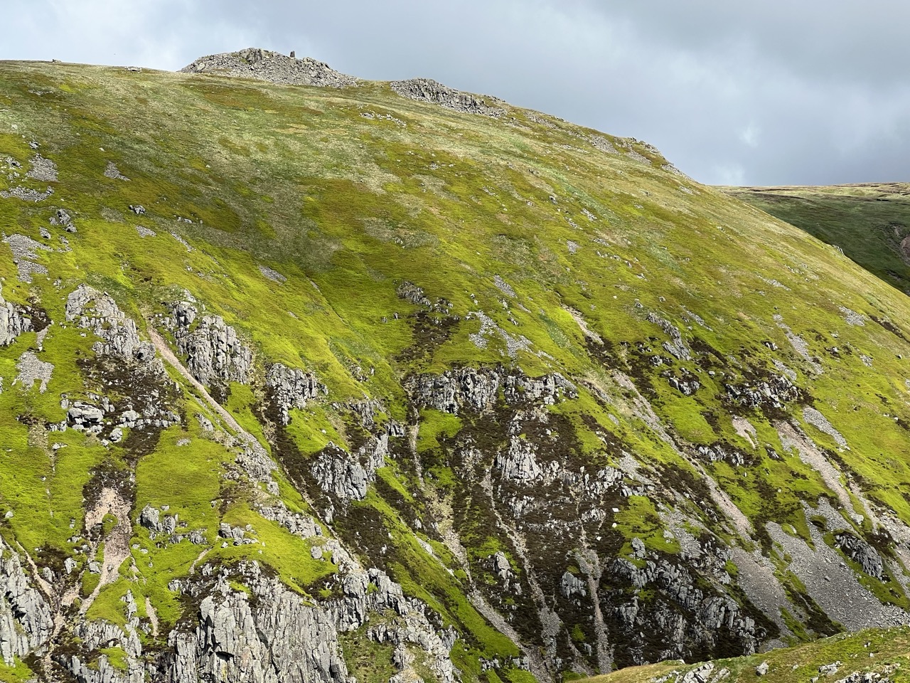
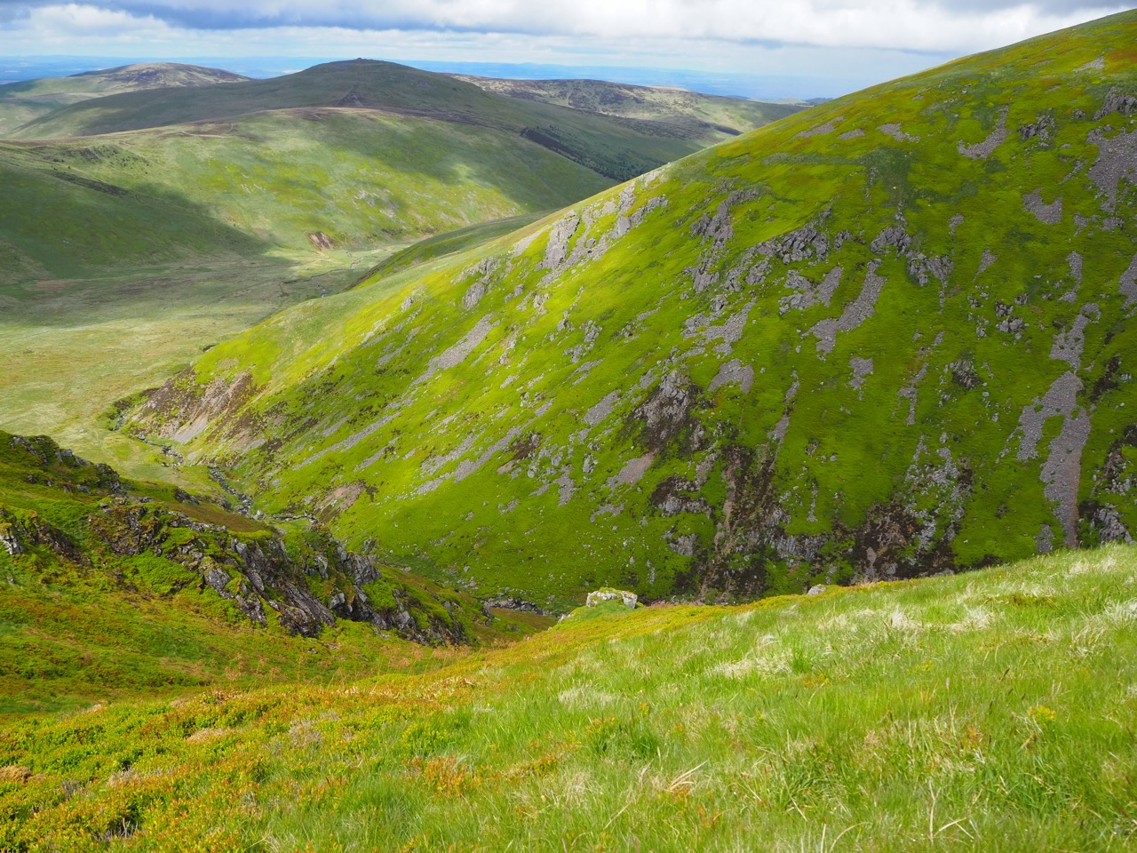
The final two days of the Pennine Way are my favourite section! A proper wild open landscape. I love the remoteness in this section of the Northumberland National Park. No towns or cities to be seen. We walked in glorious sunshine for the next two days, over stunning moorland and across rolling green hills. No jagged edges or craggy pinnacles here. It’s hard to imagine that the Cheviot massif is actually the remnant of an extinct volcano, re-shaped and softened by 400 million years of erosion.
Look east and you can see the North Sea. It's the most wonderful space in our very crowded world. It's a great place to be. To refresh and certainly enlighten the inner soul.
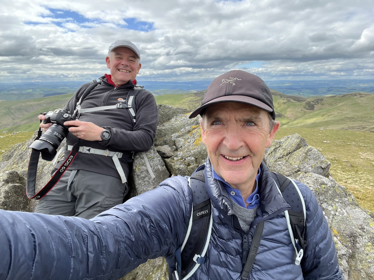
We met three walkers from the North East who teased our Yorkshire accents, telling us that ‘these peaks were reserved for Geordie walkers only’. I think we won their admiration when we told them that we were on a 560 mile trek North. Respect was earned.
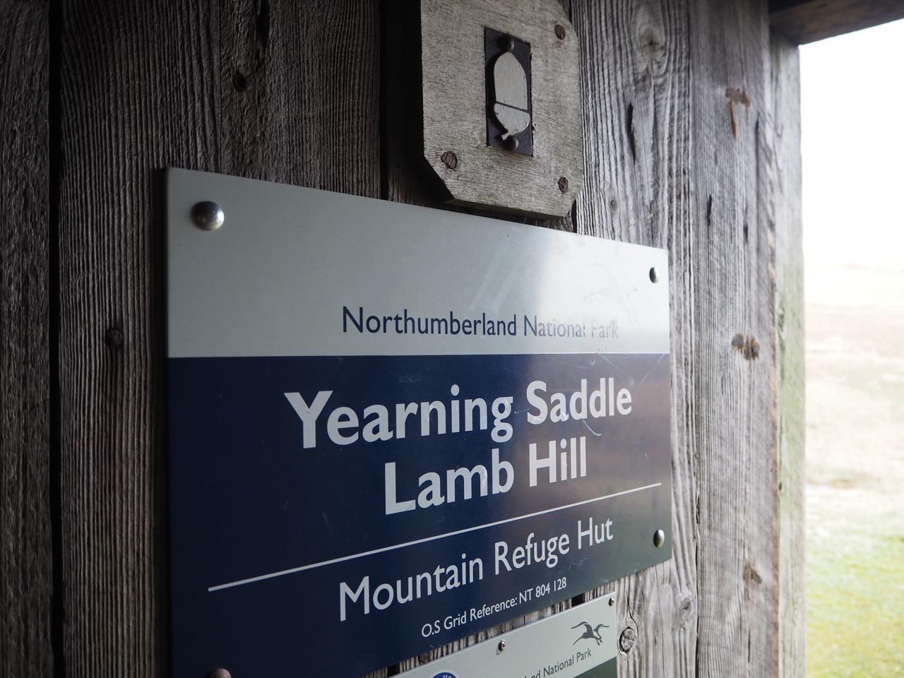
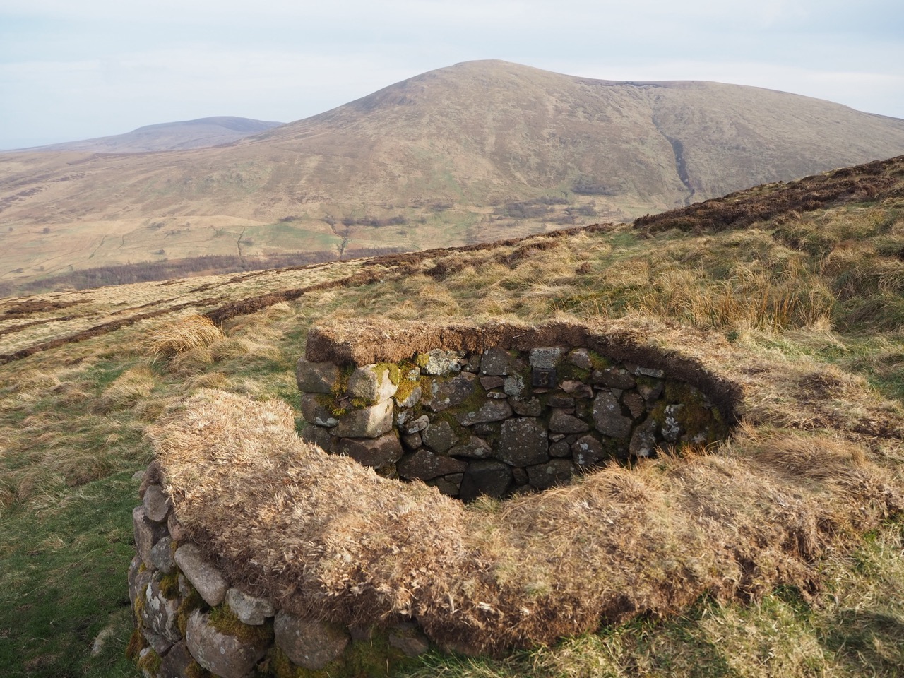
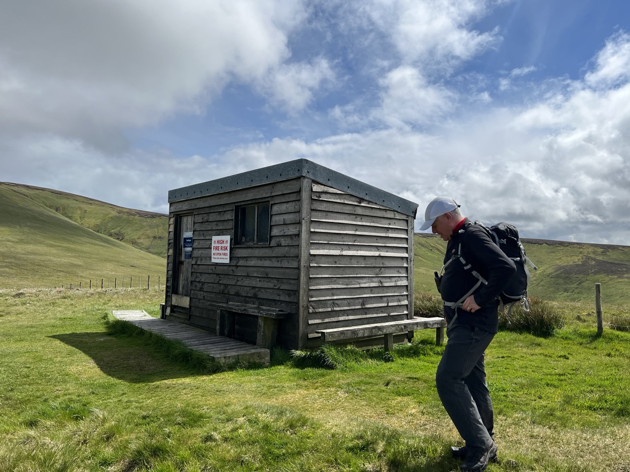
There are two excellent ‘boltholes’ on the last stretch of the Pennine Way. Ideally placed to provide shelter or just a place to rest and have lunch during the last 25 miles. Both are mountain huts - a refuge or a 'Bothy' as they would be called in Scotland.
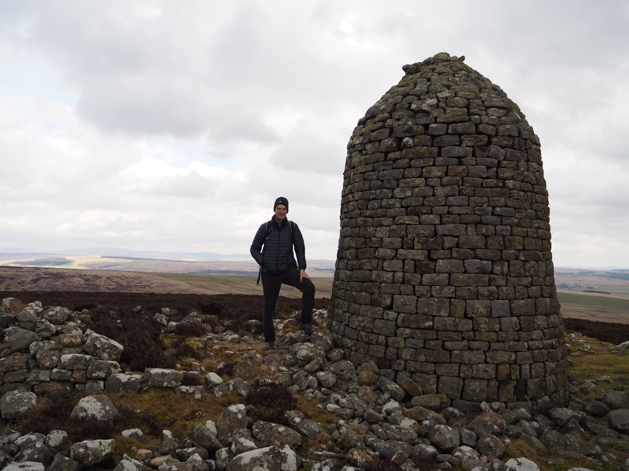
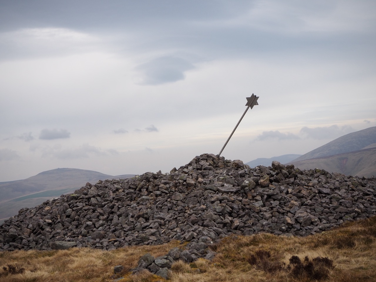
The first Mountain Hut, known as Yearning Saddle, is just below Lamb Hill and within easy reach of the summit of Windy Gyle 2031ft (619m). It has the largest summit cairn on the Pennine Way and the view is breathtaking. Several miles later, after crossing the Border Ridge, you can sit and enjoy a well earned rest in the second hut, Auchope Cairn, with its stunning views over the Cheviots. It has been described as having the finest view in Northumberland and it’s easy to see why.
Both huts could easily be used as an ‘overnight stop’ should the final day be too long for tired legs on the last section of the Pennine Way.
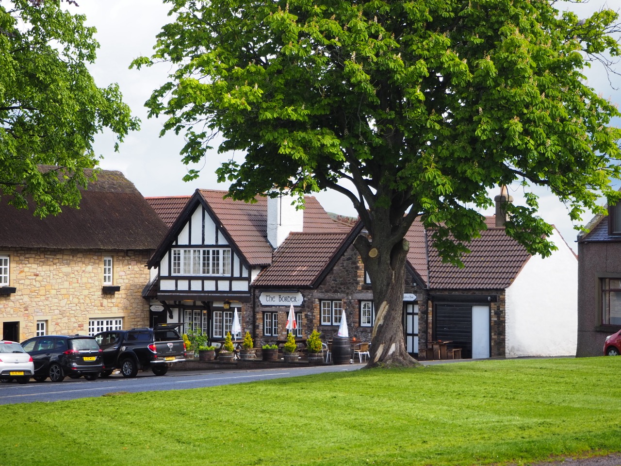
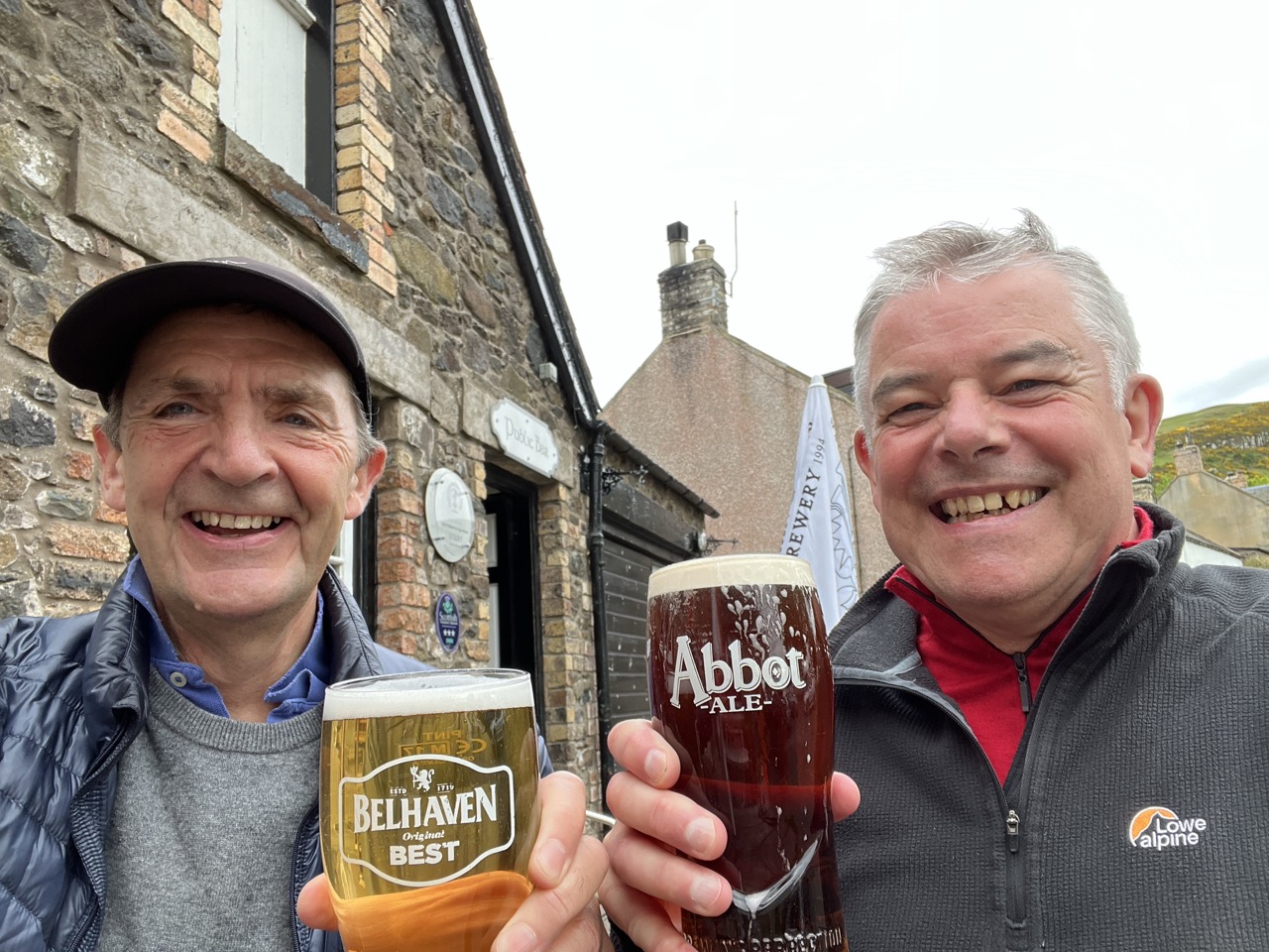
At this point, it’s hard to think that the end of this section is just a few hours away. Over the Schil and down into Kirk Yetholm for a free half pint in the pub, which is well deserved.
You have now completed the UK’s first and best known footpath, The Pennine Way. Well done.
Section 3 'fly through' 81 miles of Pennine Way. Over the Yorkshire Dales, through Teesdale and into The Cheviots
Section 3 - Video 1 Wonderful views from the tops of The Cheviots
Section 3 - Video 2 The damage left by Storm Babet
Section 3 - Video 3 The sound of a frozen boot!!
OS Explorer: OL31, OL43, OL42, OL16
6-8 Days
Downloadable route files in .gpx format for use on your GPS device or to use in your digital mapping software


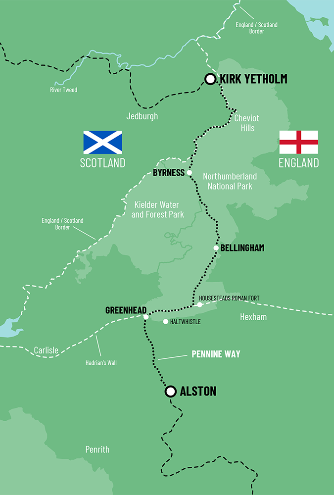
 Alston To Kirk Yetholm